| ©The Archaeological Settlements of Turkey - TAY Project | ||||||
|
|
||||||
Can Hasan 2 |
||||||
|
|
||||||
| Ages | Maps | Photos | ||||
| EBA |
 |
 |
||||
|
|
||||||
|
Type:
|
Mound | |||||
|
Altitude:
|
1140 m | |||||
|
Diameter:
|
110 m- Direction: NE-SW | |||||
|
|
||||||
|
Region:
|
Central Anatolia | |||||
|
Province:
|
Karaman | |||||
|
District:
|
Merkez | |||||
|
Village:
|
Alaçati | |||||
|
|
||||||
|
Destruction :
|
Agriculture - Highways, roads, bridges etc. | |||||
|
|
||||||
|
TAYEx:
|
Visited - 14/8/2002 | |||||
|
|
||||||
|
Registration State:
|
For detailed registration information please refer to Turkish pages. | |||||
 |
||||||
| Location: |
| Geography and Environment: |
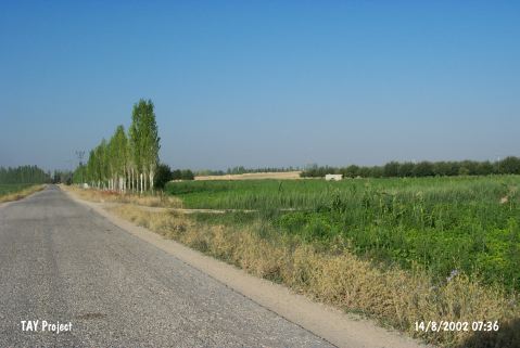
| Destruction Details: The skirts of the mound are cultivated. North and west skirts are cut by dirt road [TAYEx 14.8.2002]. |