| ©The Archaeological Settlements of Turkey - TAY Project | ||||||
|
|
||||||
Büyük Güllücek |
||||||
|
|
||||||
| Ages | Maps | Photos | ||||
| Chalcolithic EBA |
 |
 |
||||
|
|
||||||
|
Type:
|
Mound | |||||
|
Altitude:
|
1150 m | |||||
|
Diameter:
|
m- Direction: | |||||
|
|
||||||
|
Region:
|
Black Sea | |||||
|
Province:
|
Çorum | |||||
|
District:
|
Alaca | |||||
|
Village:
|
Büyük Güllücek | |||||
|
|
||||||
|
|
||||||
|
|
||||||
|
TAYEx:
|
Visited - 19/7/2002 | |||||
|
|
||||||
|
Registration State:
|
For detailed registration information please refer to Turkish pages. | |||||
 |
||||||
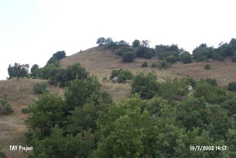
| Location: The site lies southwest of Çorum; northwest of Alaca District; southwest of Büyük Güllücek Village; 400-450 m from the village. Although its local name is Kaletepe or Nurlu Kale; it was recorded as Büyük Güllücek in the archaeological publications. It is easy to reach the site via the earth road southwest of the village [Kosay-Akok 1948:lev.CIX]. This road passes just below Kaletepe. Büyük Güllücek Village is located in a shallow valley. |
| Geography and Environment: The mound; 50 m high above the creek below; is located on the ridge between Kaledere and Agçeviran Creek. The diameter of this elevation is reported to be 50 m. The site is surrounded by forests nowadays. To the west is Bakacik Ridges; and Kazamat is across the mound. According to the surface collection; the inclined section towards Agçeviran Creek is observed to contain Iron Age and Classical Period terraced settlements. There are also remains of Greek and Roman settlements at the northern part of Agçeviran Creek. The creek flows westwards; joins with Koparan Creek and then empties into Yilgin Stream. |
| Destruction Details: |