| ©The Archaeological Settlements of Turkey - TAY Project | ||||||
|
|
||||||
Bozcaada / Tenedos |
||||||
|
|
||||||
| Ages | Maps | Photos | ||||
| EBA |
 |
 |
||||
|
|
||||||
|
Type:
|
Flat Settlement and Cemetery | |||||
|
Altitude:
|
20 m | |||||
|
Diameter:
|
m- Direction: | |||||
|
|
||||||
|
Region:
|
Marmara | |||||
|
Province:
|
Çanakkale | |||||
|
District:
|
Bozcaada | |||||
|
Village:
|
Merkez | |||||
|
|
||||||
|
|
||||||
|
|
||||||
|
TAYEx:
|
Not visited - | |||||
|
|
||||||
|
Registration State:
|
Registered For detailed registration information please refer to Turkish pages. | |||||
 |
||||||
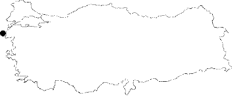
| Location: The cemetery is located at the Cumhuriyet Quarter in the center of the island Bozcaada (Tenedos) in the Aegean Sea; outside the Dardanelles Strait; southwest of the Çanakkale Province. |
| Geography and Environment: The findspot starts near the foothill of Yeni Kale; situated almost inside the modern settlement of Bozcaada; and then spreads out to the east disappearing under the city on the south. The ancient name for Bozcaada is Tenedos. |
| Destruction Details: |