| ©The Archaeological Settlements of Turkey - TAY Project | ||||||
|
|
||||||
Kinet Höyük |
||||||
|
|
||||||
| Ages | Maps | Photos | ||||
| Chalcolithic EBA IA |
 |
 |
||||
|
|
||||||
|
Type:
|
Mound | |||||
|
Altitude:
|
m | |||||
|
Diameter:
|
m- Direction: | |||||
|
|
||||||
|
Region:
|
Mediterranean | |||||
|
Province:
|
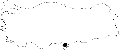
Hatay | |||||
|
District:
|
Dörtyol | |||||
|
Village:
|
Yesil | |||||
|
|
||||||
|
|
||||||
|
|
||||||
|
TAYEx:
|
- | |||||
|
|
||||||
|
Registration State:
|
Registered For detailed registration information please refer to Turkish pages. | |||||
 |
||||||
| Location: The site lies in the village of Yesil to the northwest of Dörtyol; 30 km north of Iskenderun. It is located on the eastern shore of Iskenderun Gulf; 500 m from the sea. |
| Geography and Environment: Deliçay Stream flows to the south of it. It extends in an area of 3.3 ha and it is 26 m in height. |
| Destruction Details: |