| ©The Archaeological Settlements of Turkey - TAY Project | ||||||
|
|
||||||
Bayat Höyük |
||||||
|
|
||||||
| Ages | Maps | Photos | ||||
| Chalcolithic EBA IA |
 |
 |
||||
|
|
||||||
|
Type:
|
Mound | |||||
|
Altitude:
|
1295 m | |||||
|
Diameter:
|
200 m- Direction: NNW-SSE | |||||
|
|
||||||
|
Region:
|
Central Anatolia | |||||
|
Province:
|
Konya | |||||
|
District:
|
Meram | |||||
|
Village:
|
Bayat | |||||
|
|
||||||
|
Destruction :
|
Agriculture - Contemporary Settlements | |||||
|
|
||||||
|
TAYEx:
|
Visited - 20/8/2002 | |||||
|
|
||||||
|
Registration State:
|
Registered For detailed registration information please refer to Turkish pages. | |||||
 |
||||||
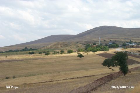
| Location: |
| Geography and Environment: |
| Destruction Details: Northeast skirt of the mound is cultivated; there are houses on southwest and west skirts [TAYEx 20.8.2002]. Planting works was performed on the mound [Bahar 2014:257]. |