| ©The Archaeological Settlements of Turkey - TAY Project | ||||||
|
|
||||||
No Name (Çaldiran / Zülfübulak) |
||||||
|
|
||||||
| Ages | Maps | Photos | ||||
| Other/Unknown |
 |
 |
||||
|
|
||||||
|
Type:
|
Mound | |||||
|
Altitude:
|
1930 m | |||||
|
Diameter:
|
m- Direction: | |||||
|
|
||||||
|
Region:
|
Eastern Anatolia | |||||
|
Province:
|
Van | |||||
|
District:
|
Çaldiran | |||||
|
Village:
|
Zülfübulak | |||||
|
|
||||||
|
Destruction :
|
Illicit Digging | |||||
|
|
||||||
|
TAYEx:
|
Visited - 3/7/2003 | |||||
|
|
||||||
|
Registration State:
|
For detailed registration information please refer to Turkish pages. | |||||
 |
||||||
| Location: |
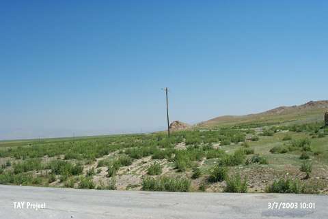
| Geography and Environment: |
| Destruction Details: There are lots of illicit digging pits on the mound [TAYEx 3.7.2003]. |