| ©The Archaeological Settlements of Turkey - TAY Project | ||||||
|
|
||||||
No Name (Sereflikoçhisar / Yusufkuyusu) |
||||||
|
|
||||||
| Ages | Maps | Photos | ||||
| Other/Unknown |
 |
 |
||||
|
|
||||||
|
Type:
|
Mound | |||||
|
Altitude:
|
1010 m | |||||
|
Diameter:
|
240 m- Direction: NNE-SSW | |||||
|
|
||||||
|
Region:
|
Central Anatolia | |||||
|
Province:
|
Ankara | |||||
|
District:
|
Sereflikoçhisar | |||||
|
Village:
|
Yusufkuyusu | |||||
|
|
||||||
|
Destruction :
|
Agriculture | |||||
|
|
||||||
|
TAYEx:
|
Visited - 15/9/2002 | |||||
|
|
||||||
|
Registration State:
|
For detailed registration information please refer to Turkish pages. | |||||
 |
||||||
| Location: |
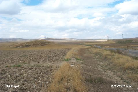
| Geography and Environment: |
| Destruction Details: There is an old pit of illicit digging on top hill and soil removed sections on southern skirt. Skirts of the mound are cultivated [TAYEx 15.9.2002]. |