| ©The Archaeological Settlements of Turkey - TAY Project | ||||||
|
|
||||||
Keferrahim Mevkii |
||||||
|
|
||||||
| Ages | Maps | Photos | ||||
| Other/Unknown |
 |
 |
||||
|
|
||||||
|
Type:
|
Flat Settlement | |||||
|
Altitude:
|
848 m | |||||
|
Diameter:
|
m- Direction: | |||||
|
|
||||||
|
Region:
|
Southeastern Anatolia | |||||
|
Province:
|
Kilis | |||||
|
District:
|
Merkez | |||||
|
Village:
|
Inanli | |||||
|
|
||||||
|
Destruction :
|
Contemporary Settlements | |||||
|
|
||||||
|
TAYEx:
|
Visited - 23/8/2001 | |||||
|
|
||||||
|
Registration State:
|
Registered For detailed registration information please refer to Turkish pages. | |||||
 |
||||||
| Location: |
| Geography and Environment: |
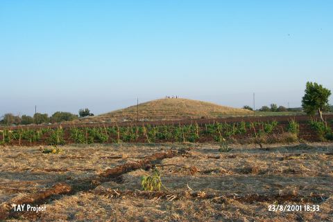
| Destruction Details: The surface of the mound has been planted and its slopes have been leveled for agricultural purposes. Near the southeastern skirt; which was damaged due to earth removal; is a large pit [TAYEx 23.8.2001]. |