| ©The Archaeological Settlements of Turkey - TAY Project | ||||||
|
|
||||||
Kokaz / Göktepe |
||||||
|
|
||||||
| Ages | Maps | Photos | ||||
| Other/Unknown |
 |
 |
||||
|
|
||||||
|
Type:
|
Mound | |||||
|
Altitude:
|
150 m | |||||
|
Diameter:
|
m- Direction: | |||||
|
|
||||||
|
Region:
|
Mediterranean | |||||
|
Province:
|
Hatay | |||||
|
District:
|
Reyhanli | |||||
|
Village:
|
Göktepe | |||||
|
|
||||||
|
Destruction :
|
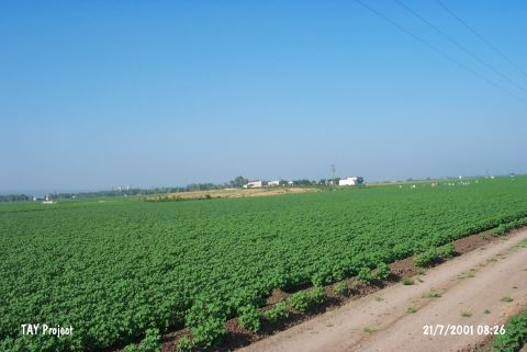
Agriculture - Contemporary Settlements - Attention | |||||
|
|
||||||
|
TAYEx:
|
Visited - 21/7/2001 | |||||
|
|
||||||
|
Registration State:
|
For detailed registration information please refer to Turkish pages. | |||||
 |
||||||
| Location: |
| Geography and Environment: |
| Destruction Details: Top of the mound is partly leveled and houses built on it. There are also fields on south and west sections. The western part is also leveled. A road climbs towards top hill. The original form of the mound is disturbed by plowing [TAYEx 21.7.2001]. |