| ©The Archaeological Settlements of Turkey - TAY Project | ||||||
|
|
||||||
Bashöyük |
||||||
|
|
||||||
| Ages | Maps | Photos | ||||
| Chalcolithic EBA IA |
 |
 |
||||
|
|
||||||
|
Type:
|
Mound | |||||
|
Altitude:
|
1175 m | |||||
|
Diameter:
|
135 m- Direction: ESE-WNW | |||||
|
|
||||||
|
Region:
|
Central Anatolia | |||||
|
Province:
|
Konya | |||||
|
District:
|
Sarayönü | |||||
|
Village:
|
Bashöyük | |||||
|
|
||||||
|
Destruction :
|
Contemporary Settlements - Highways, roads, bridges etc. - Attention | |||||
|
|
||||||
|
TAYEx:
|
Visited - 12/9/2002 | |||||
|
|
||||||
|
Registration State:
|
Registered For detailed registration information please refer to Turkish pages. | |||||
 |
||||||
| Location: |
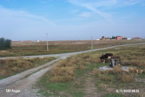
| Geography and Environment: |
| Destruction Details: There is a house on northeast skirt of the mound and large soil taken area at southern section [TAYEx 12.9.2002]. It was surveyed again by H. Bahar in 2005 to determine the destruction of 80% of the mound [Bahar 2007:484]. |