| ©The Archaeological Settlements of Turkey - TAY Project | ||||||
|
|
||||||
Boyun Mevkii |
||||||
|
|
||||||
| Ages | Maps | Photos | ||||
| EBA |
 |
 |
||||
|
|
||||||
|
Type:
|
Mound | |||||
|
Altitude:
|
1300 m | |||||
|
Diameter:
|
105 m- Direction: NW-SE | |||||
|
|
||||||
|
Region:
|
Central Anatolia | |||||
|
Province:
|
Sivas | |||||
|
District:
|
Merkez | |||||
|
Village:
|
Kizilöz | |||||
|
|
||||||
|
Destruction :
|
Illicit Digging - Agriculture - Attention | |||||
|
|
||||||
|
TAYEx:
|
Visited - 8/8/2003 | |||||
|
|
||||||
|
Registration State:
|
For detailed registration information please refer to Turkish pages. | |||||
 |
||||||
| Location: |
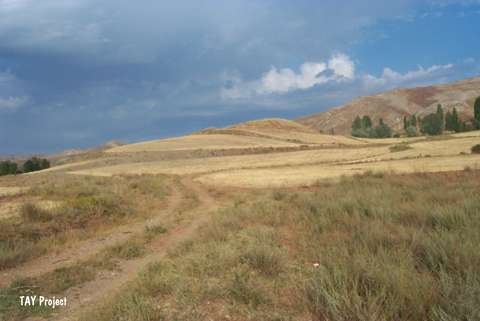
| Geography and Environment: |
| Destruction Details: The mound is being damaged by agricultural activities and illicit diggings. There is pit measuring 3.5x4.7 m on northwest slope. Fields around the settlement start from the slopes [TAYEx 8.8.2003]. |