| ©The Archaeological Settlements of Turkey - TAY Project | ||||||
|
|
||||||
Görünmez Höyük |
||||||
|
|
||||||
| Ages | Maps | Photos | ||||
| EBA |
 |
 |
||||
|
|
||||||
|
Type:
|
Mound | |||||
|
Altitude:
|
1260 m | |||||
|
Diameter:
|
m- Direction: | |||||
|
|
||||||
|
Region:
|
Central Anatolia | |||||
|
Province:
|
Konya | |||||
|
District:
|
Hüyük | |||||
|
Village:
|
Görünmez | |||||
|
|
||||||
|
Destruction :
|
Agriculture - Attention | |||||
|
|
||||||
|
TAYEx:
|
Visited - 25/7/2004 | |||||
|
|
||||||
|
Registration State:
|
For detailed registration information please refer to Turkish pages. | |||||
 |
||||||
| Location: |
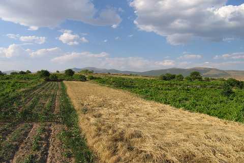
| Geography and Environment: |
| Destruction Details: The southern slope of the mound was terraced in order to form a vineyard. The other parts are also being damaged due to agricultural practices [TAYEx 25.7.2004]. |