| ©The Archaeological Settlements of Turkey - TAY Project | ||||||
|
|
||||||
Kiziltas |
||||||
|
|
||||||
| Ages | Maps | Photos | ||||
| Palaeolithic/Epipalaeolithic |
 |
 |
||||
|
|
||||||
|
Type:
|
Habitation Site / Workshop | |||||
|
Altitude:
|
50 m | |||||
|
Diameter:
|
m- Direction: | |||||
|
|
||||||
|
Region:
|
Aegean | |||||
|
Province:
|
Aydin | |||||
|
District:
|
Çine | |||||
|
Village:
|
Cumali | |||||
|
|
||||||
|
Destruction :
|
Agriculture | |||||
|
|
||||||
|
TAYEx:
|
Visited - 26/9/2000 | |||||
|
|
||||||
|
Registration State:
|
Registered For detailed registration information please refer to Turkish pages. | |||||
 |
||||||
| Location: |
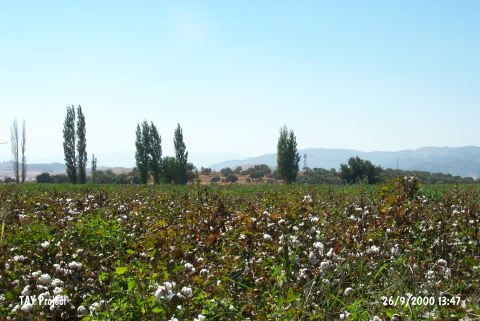
| Geography and Environment: |
| Destruction Details: The southern and western sections of the settlement were terraced in order to plant olive trees. Its upper part is being used for wheat cultivation [TAYEx 26.9.2000]. |