| ©The Archaeological Settlements of Turkey - TAY Project | ||||||
|
|
||||||
Sögüt Tarlasi 2 |
||||||
|
|
||||||
| Ages | Maps | Photos | ||||
| Chalcolithic |
 |
 |
||||
|
|
||||||
|
Type:
|
Mound | |||||
|
Altitude:
|
580 m | |||||
|
Diameter:
|
m- Direction: | |||||
|
|
||||||
|
Region:
|
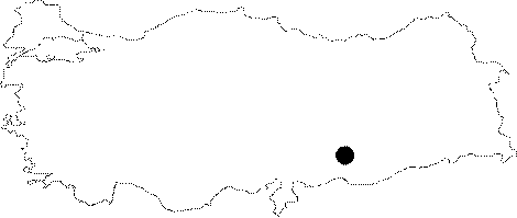
Southeastern Anatolia | |||||
|
Province:
|
Sanliurfa | |||||
|
District:
|
Bozova | |||||
|
Village:
|
Merkez | |||||
|
|
||||||
|
Destruction :
|
Agriculture | |||||
|
|
||||||
|
TAYEx:
|
Visited - 3/9/2001 | |||||
|
|
||||||
|
Registration State:
|
For detailed registration information please refer to Turkish pages. | |||||
 |
||||||
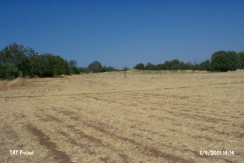
| Location: It is located about 2 km southwest of the district of Bozova and 35 km northwest of the city center of the province of Sanliurfa. |
| Geography and Environment: The site is 2-3 m in height and according to the distribution of the ceramics it measures 50x90 m. It is named after a field to the south of the willow grove on the bank of the lake to the northwest. It is surrounded by fertile fields. The settlement is located in a well-watered area. |
| Destruction Details: The site is being destructed by agricultural activities. The west slope is terraced [TAYEx 3.9.2001]. |