| ©The Archaeological Settlements of Turkey - TAY Project | ||||||
|
|
||||||
Yeniköy / Gavur |
||||||
|
|
||||||
| Ages | Maps | Photos | ||||
| EBA |
 |
 |
||||
|
|
||||||
|
Type:
|
Mound | |||||
|
Altitude:
|
820 m | |||||
|
Diameter:
|
m- Direction: | |||||
|
|
||||||
|
Region:
|
Eastern Anatolia | |||||
|
Province:
|
Elazig | |||||
|
District:
|
Merkez | |||||
|
Village:
|
Yeniköy | |||||
|
|
||||||
|
Destruction :
|
Dams | |||||
|
|
||||||
|
TAYEx:
|
Not visited - 15/8/2003 | |||||
|
|
||||||
|
Registration State:
|
For detailed registration information please refer to Turkish pages. | |||||
 |
||||||
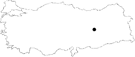
| Location: It was located 3 km north of the Lalusagi Village; northeast of the Pulur/Sakyol Village; northwest of the Elazig Province. It was completely flooded by the Keban Dam. The mound was situated between the Çemisgezek motorway and the Tahar/Tagar Stream; 190 m east of the motorway. It was named after the nearest village (Yeniköy); a seasonal village for nomads. |
| Geography and Environment: H.Z. Kosay who excavated the mound; reports that the mound is also known as Hugu/Gavur Höyük. It is a small and flat mound measuring 14 m in height and ca. 200x150 m in dimensions. It was on the foothill of a natural hill called Kesisin Tümü. Remains of the Roman and Early Byzantine Periods were reported. It is noted that probably there is a natural elevation underneath. |
| Destruction Details: The mound is flooded by dam reservoir [TAYEx 15.8.2003]. |