| ©The Archaeological Settlements of Turkey - TAY Project | ||||||
|
|
||||||
Yeniköy |
||||||
|
|
||||||
| Ages | Maps | Photos | ||||
| Palaeolithic/Epipalaeolithic |
 |
 |
||||
|
|
||||||
|
Type:
|
Single Findspot | |||||
|
Altitude:
|
m | |||||
|
Diameter:
|
m- Direction: | |||||
|
|
||||||
|
Region:
|
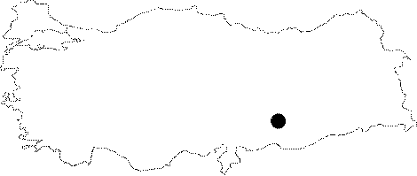
Southeastern Anatolia | |||||
|
Province:
|
Adiyaman | |||||
|
District:
|
Akpinar | |||||
|
Village:
|
Yeniköy | |||||
|
|
||||||
|
Destruction :
|
Dams | |||||
|
|
||||||
|
TAYEx:
|
Not visited - 29/8/2001 | |||||
|
|
||||||
|
Registration State:
|
For detailed registration information please refer to Turkish pages. | |||||
 |
||||||
| Location: This open-air site lies in the Çetveren Stream Valley; a branch that empties into the Çakal Stream; 3 km east-northeast of the town of Akpinar and 50 m north of the village of Yeniköy. The site has been completely flooded by the dam-lake; like all the sites in this area. The survey code of this site is T 50 / 20. |
| Geography and Environment: The Çetvere Stream is one of the many seasonal streamlets which feed the Çakal Stream. The banks of these streamlets are steep and dry. |
| Destruction Details: The site is flooded by dam reservoir today [TAYEx 29.8.2001]. |