| ©The Archaeological Settlements of Turkey - TAY Project | ||||||
|
|
||||||
Yaprakli Mevkii |
||||||
|
|
||||||
| Ages | Maps | Photos | ||||
| Chalcolithic IA |
 |
 |
||||
|
|
||||||
|
Type:
|
Flat Settlement | |||||
|
Altitude:
|
830 m | |||||
|
Diameter:
|
m- Direction: | |||||
|
|
||||||
|
Region:
|
Marmara | |||||
|
Province:
|
Bilecik | |||||
|
District:
|
Bozüyük | |||||
|
Village:
|
||||||
|
|
||||||
|
Destruction :
|
Illicit Digging - Agriculture | |||||
|
|
||||||
|
TAYEx:
|
Visited - 12/7/2000 | |||||
|
|
||||||
|
Registration State:
|
For detailed registration information please refer to Turkish pages. | |||||
 |
||||||
| Location: |
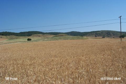
| Geography and Environment: |
| Destruction Details: Almost half of the hill has vanished due to illicit diggings. Its eastern section is being used for cultivation [TAYEx 12.7.2000]. |