| ©The Archaeological Settlements of Turkey - TAY Project | ||||||
|
|
||||||
Yamaçtepe |
||||||
|
|
||||||
| Ages | Maps | Photos | ||||
| Neolithic |
 |
 |
||||
|
|
||||||
|
Type:
|
Flat Settlement | |||||
|
Altitude:
|
m | |||||
|
Diameter:
|
m- Direction: | |||||
|
|
||||||
|
Region:
|
Mediterranean | |||||
|
Province:
|
Kahramanmaras | |||||
|
District:
|
Pazarcik | |||||
|
Village:
|
||||||
|
|
||||||
|
|
||||||
|
|
||||||
|
TAYEx:
|
Not visited - 9/8/2001 | |||||
|
|
||||||
|
Registration State:
|
For detailed registration information please refer to Turkish pages. | |||||
 |
||||||
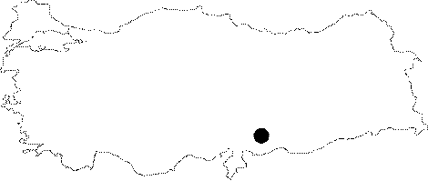
| Location: The site lies southeast of the town of Pazarcik which is east of the city of Kahramanmaras. It is very close to the village of Ardil and north of the Ardil Höyük mound. |
| Geography and Environment: The geographical characteristics of the mound have not been given. The site is reported to be on a hillock which has faced natural or man-made damage; dividing the hill into two. It is not certain if the word "hill" refers to a mound. |
| Destruction Details: |