| ©The Archaeological Settlements of Turkey - TAY Project | ||||||
|
|
||||||
Üyücek / Tütüncüyolu |
||||||
|
|
||||||
| Ages | Maps | Photos | ||||
| Neolithic EBA |
 |
 |
||||
|
|
||||||
|
Type:
|
Mound | |||||
|
Altitude:
|
45 m | |||||
|
Diameter:
|
m- Direction: | |||||
|
|
||||||
|
Region:
|
Marmara | |||||
|
Province:
|
Balikesir | |||||
|
District:
|
Gönen | |||||
|
Village:
|
Tütüncü | |||||
|
|
||||||
|
Destruction :
|
Agriculture - Highways, roads, bridges etc. | |||||
|
|
||||||
|
TAYEx:
|
Visited - 3/7/2000 | |||||
|
|
||||||
|
Registration State:
|
For detailed registration information please refer to Turkish pages. | |||||
 |
||||||
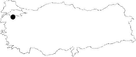
| Location: |
| Geography and Environment: |
| Destruction Details: The skirts of the mound are cut by an asphalt road in east-west direction. Its northern section is terraced and leveled [TAYEx 3.7.2000]. West and east sections are cut due to agricultural activities. A house built on the terraced place at the northern section and surrounded by iron fence [TAYEx 4.7.2004]. |