| ©The Archaeological Settlements of Turkey - TAY Project | ||||||
|
|
||||||
Üyücek |
||||||
|
|
||||||
| Ages | Maps | Photos | ||||
| EBA |
 |
 |
||||
|
|
||||||
|
Type:
|
Mound | |||||
|
Altitude:
|
160 m | |||||
|
Diameter:
|
m- Direction: | |||||
|
|
||||||
|
Region:
|
Marmara | |||||
|
Province:
|
Bursa | |||||
|
District:
|
Iznik | |||||
|
Village:
|
Çiçekli | |||||
|
|
||||||
|
Destruction :
|
Illicit Digging - Agriculture - Highways, roads, bridges etc. | |||||
|
|
||||||
|
TAYEx:
|
Visited - 17/7/2000 | |||||
|
|
||||||
|
Registration State:
|
For detailed registration information please refer to Turkish pages. | |||||
 |
||||||
| Location: |
| Geography and Environment: |
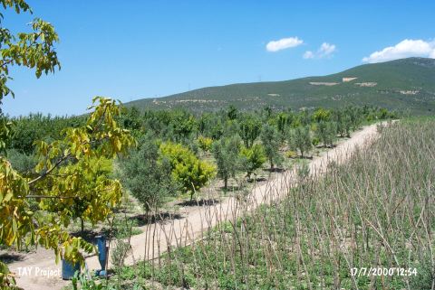
| Destruction Details: Olive trees have been planted on the whole surface of the mound. Its eastern slope was removed by construction machines for cultivation. The northern slope has been cut during the construction of a house and surrounded by iron railing [TAYEx 17.7.2000]. During the Iznik Survey performed by M. Sahin et al. in 2006 it was revisited and ongoing plantation on the mound was reported. The northern section was dug for leveling for the plantation and a high cross-section was constituted. The eastern slope was dug by 2-2.25 m for terracing and the culture levels were destructed. The top and skirts of the mound bear many illicitly dug pits. Besides these the north part of the mound bear a 2 m high garden wall starting from the northern end of the peak and extending to the motorway, which is also responsible for the current destruction of the mound [Sahin et al. 2008:13]. |