| ©The Archaeological Settlements of Turkey - TAY Project | ||||||
|
|
||||||
Üçhöyük |
||||||
|
|
||||||
| Ages | Maps | Photos | ||||
| EBA IA |
 |
 |
||||
|
|
||||||
|
Type:
|
Mound | |||||
|
Altitude:
|
985 m | |||||
|
Diameter:
|
48 m- Direction: SE-NW | |||||
|
|
||||||
|
Region:
|
Aegean | |||||
|
Province:
|
Kütahya | |||||
|
District:
|
Altintas | |||||
|
Village:
|
Üçhöyük | |||||
|
|
||||||
|
Destruction :
|
Illicit Digging - Agriculture | |||||
|
|
||||||
|
TAYEx:
|
Visited - 6/7/2004 | |||||
|
|
||||||
|
Registration State:
|
Registered For detailed registration information please refer to Turkish pages. | |||||
 |
||||||
| Location: |
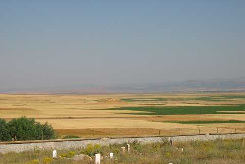
| Geography and Environment: |
| Destruction Details: The upper part of the mound has been damaged by a deep cut in the southeast-northwest direction. There is also an illicit digging pit on the north-northwestern slope. The fields surrounding the mound continue up to the skirts [TAYEx 6.7.2004]. |