| ©The Archaeological Settlements of Turkey - TAY Project | ||||||
|
|
||||||
Uluova |
||||||
|
|
||||||
| Ages | Maps | Photos | ||||
| Chalcolithic EBA |
 |
 |
||||
|
|
||||||
|
Type:
|
Mound | |||||
|
Altitude:
|
1020 m | |||||
|
Diameter:
|
200 m- Direction: N-S | |||||
|
|
||||||
|
Region:
|
Eastern Anatolia | |||||
|
Province:
|
Elazig | |||||
|
District:
|
Sivrice | |||||
|
Village:
|
Dedeyolu | |||||
|
|
||||||
|
Destruction :
|
Illicit Digging - Contemporary Settlements - Attention | |||||
|
|
||||||
|
TAYEx:
|
Visited - 13/7/2003 | |||||
|
|
||||||
|
Registration State:
|
For detailed registration information please refer to Turkish pages. | |||||
 |
||||||
| Location: |
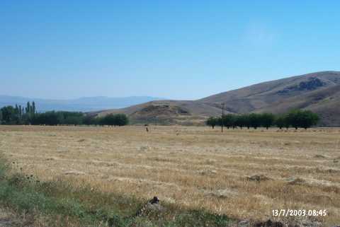
| Geography and Environment: |
| Destruction Details: The mound has been seriously destructed by illicit diggings. There is big section at the east and southeast part of the mound which has been caused by removal of soil. There is a pit on south slope excavated by bulldozer. There are four pits on northern part and one of them is 4 m in deep;3 m high. There is also a pit on northwest slope which has been encircled by stone and plastered by concrete [TAYEx 13.7.2003]. |