| ©The Archaeological Settlements of Turkey - TAY Project | ||||||
|
|
||||||
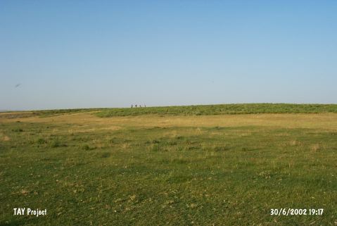
Azmak Höyük |
||||||
|
|
||||||
| Ages | Maps | Photos | ||||
| EBA |
 |
 |
||||
|
|
||||||
|
Type:
|
Mound | |||||
|
Altitude:
|
865 m | |||||
|
Diameter:
|
217 m- Direction: NNE-SSW | |||||
|
|
||||||
|
Region:
|
Central Anatolia | |||||
|
Province:
|
Eskisehir | |||||
|
District:
|
Sivrihisar | |||||
|
Village:
|
Selimiye | |||||
|
|
||||||
|
Destruction :
|
Highways, roads, bridges etc. | |||||
|
|
||||||
|
TAYEx:
|
Visited - 30/6/2002 | |||||
|
|
||||||
|
Registration State:
|
For detailed registration information please refer to Turkish pages. | |||||
 |
||||||
| Location: |
| Geography and Environment: |
| Destruction Details: A road passes the mound in southeast-northwest direction [TAYEx 30.6.2002]. |