| ©The Archaeological Settlements of Turkey - TAY Project | ||||||
|
|
||||||
Çine Tepecik |
||||||
|
|
||||||
| Ages | Maps | Photos | ||||
| Neolithic Chalcolithic EBA Greek-Roman |
 |
 |
||||
|
|
||||||
|
Type:
|
Mound | |||||
|
Altitude:
|
50 m | |||||
|
Diameter:
|
m- Direction: | |||||
|
|
||||||
|
Region:
|
Aegean | |||||
|
Province:
|
Aydin | |||||
|
District:
|
Çine | |||||
|
Village:
|
Karakollar | |||||
|
|
||||||
|
Destruction :
|
Illicit Digging - Agriculture | |||||
|
|
||||||
|
TAYEx:
|
Visited - 26/9/2000 | |||||
|
|
||||||
|
Registration State:
|
Registered For detailed registration information please refer to Turkish pages. | |||||
 |
||||||
| Location: It lies 3 km southwest of Karakollar Village; northwest of Çine; south of Aydin Province. |
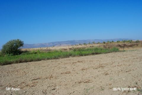
| Geography and Environment: The oval mound extending in north-south direction in a lowland with cultivated fields locates 1 km east of Çine Stream. The mound widens from north to south and forms a flat view close to the level of plain. It is 40x120 m in dimensions and 9 m in height. A damaged tomb chamber dating to the late periods locates on it. The areas surrounding the mound are destructed by intensive agriculture and on the top of it destruction caused by illicit digging was observed. |
| Destruction Details: The mound has been damaged due to agricultural activities. There is a high profile on northeast skirt [TAYEx 26.9.2000]. |