| ©The Archaeological Settlements of Turkey - TAY Project | ||||||
|
|
||||||
Tenevardi 1 |
||||||
|
|
||||||
| Ages | Maps | Photos | ||||
| Chalcolithic EBA IA |
 |
 |
||||
|
|
||||||
|
Type:
|
Mound | |||||
|
Altitude:
|
50 m | |||||
|
Diameter:
|
m- Direction: | |||||
|
|
||||||
|
Region:
|
Mediterranean | |||||
|
Province:
|
Adana | |||||
|
District:
|
Karatas | |||||
|
Village:
|
Yenice | |||||
|
|
||||||
|
Destruction :
|
Agriculture - Attention | |||||
|
|
||||||
|
TAYEx:
|
Visited - 29/7/2001 | |||||
|
|
||||||
|
Registration State:
|
For detailed registration information please refer to Turkish pages. | |||||
 |
||||||
| Location: |
| Geography and Environment: |
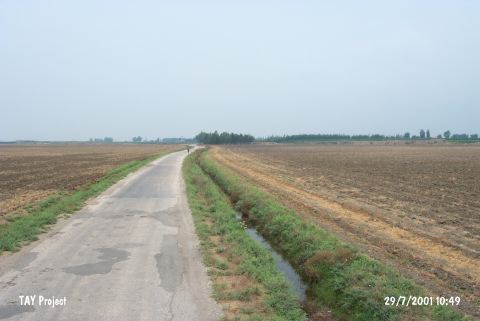
| Destruction Details: The mound was totally leveled in 2000. Location of the mound which is at the plain level today can be recognized by the difference in soil color. It is told by the local people that the site was extending towards the road [TAYEx 29.7.2001]. |