| ©The Archaeological Settlements of Turkey - TAY Project | ||||||
|
|
||||||
Davutpasa |
||||||
|
|
||||||
| Ages | Maps | Photos | ||||
| Neolithic EBA |
 |
 |
||||
|
|
||||||
|
Type:
|
Mound | |||||
|
Altitude:
|
220 m | |||||
|
Diameter:
|
m- Direction: | |||||
|
|
||||||
|
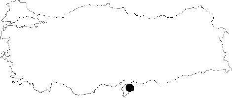
Region:
|
Mediterranean | |||||
|
Province:
|
Hatay | |||||
|
District:
|
Reyhanli | |||||
|
Village:
|
Davutpasahöyügü | |||||
|
|
||||||
|
Destruction :
|
Illicit Digging - Agriculture | |||||
|
|
||||||
|
TAYEx:
|
Visited - 17/7/2001 | |||||
|
|
||||||
|
Registration State:
|
For detailed registration information please refer to Turkish pages. | |||||
 |
||||||
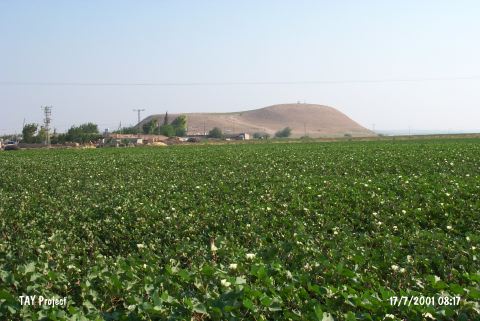
| Location: It lies close to the village which it was named after; 6 km northeast of Reyhanli District of Hatay Province. |
| Geography and Environment: It lies 500 m east of Afrin Stream which is one of the creeks watering Amuq Plain. The mound is rather big and terraced. |
| Destruction Details: There are pits of illicit diggings on southern slope of the mound and its western skirt is cultivated [TAYEx 17.7.2001]. |