| ©The Archaeological Settlements of Turkey - TAY Project | ||||||
|
|
||||||
Tell Açana / Alalakh |
||||||
|
|
||||||
| Ages | Maps | Photos | ||||
| Neolithic Chalcolithic EBA IA 14C |
 |
 |
||||
|
|
||||||
|
Type:
|
Mound | |||||
|
Altitude:
|
160 m | |||||
|
Diameter:
|
m- Direction: | |||||
|
|
||||||
|
Region:
|
Mediterranean | |||||
|
Province:
|
Hatay | |||||
|
District:
|
Reyhanli | |||||
|
Village:
|
Tayfursökmen | |||||
|
|
||||||
|
Destruction :
|
Contemporary Settlements | |||||
|
|
||||||
|
TAYEx:
|
Visited - 16/7/2001 | |||||
|
|
||||||
|
Registration State:
|
Registered For detailed registration information please refer to Turkish pages. | |||||
 |
||||||
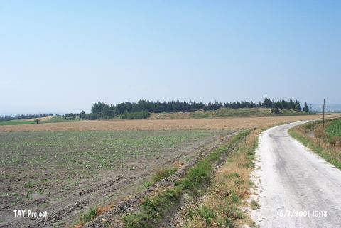
| Location: This site lies on the Turkish-Syrian border; east of the Amuq Plain; about 3 km away from the village of Tayfursökmen and northeast of the village of Varisli; southwest of Reyhanli District; northeast of the city of Hatay. |
| Geography and Environment: The Tell Açana Mound on the Asi River (Orontes) bank; which used to be called Alalakh; is one of the largest and most important mounds of the area. |
| Destruction Details: The mound has been partially damaged due to contemporary settlements [TAYEx 17.6.2001]. |