| ©The Archaeological Settlements of Turkey - TAY Project | ||||||
|
|
||||||
Taslibayir Mevkii |
||||||
|
|
||||||
| Ages | Maps | Photos | ||||
| EBA IA |
 |
 |
||||
|
|
||||||
|
Type:
|
Cemetery | |||||
|
Altitude:
|
55 m | |||||
|
Diameter:
|
m- Direction: | |||||
|
|
||||||
|
Region:
|
Marmara | |||||
|
Province:
|
Balikesir | |||||
|
District:
|
Gönen | |||||
|
Village:
|
Börülceagaç | |||||
|
|
||||||
|
Destruction :
|
Mines/Quarries - Contemporary Settlements - Highways, roads, bridges etc. | |||||
|
|
||||||
|
TAYEx:
|
Visited - 4/7/2000 | |||||
|
|
||||||
|
Registration State:
|
For detailed registration information please refer to Turkish pages. | |||||
 |
||||||
| Location: |
| Geography and Environment: |
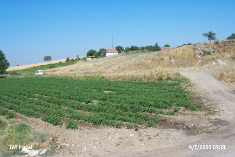
| Destruction Details: The cemetery has been damaged by the sand quarry and illicit diggings. The last houses of the village have also been built in this area. Its skirts have been cut by a road [TAYEx 4.7.2000]. |