| ©The Archaeological Settlements of Turkey - TAY Project | ||||||
|
|
||||||
Sadi Tepe |
||||||
|
|
||||||
| Ages | Maps | Photos | ||||
| Chalcolithic |
 |
 |
||||
|
|
||||||
|
Type:
|
Flat Settlement | |||||
|
Altitude:
|
515 m | |||||
|
Diameter:
|
m- Direction: | |||||
|
|
||||||
|
Region:
|
Southeastern Anatolia | |||||
|
Province:
|
Gaziantep | |||||
|
District:
|
Nizip | |||||
|
Village:
|
Gürçay | |||||
|
|
||||||
|
Destruction :
|
Mines/Quarries - Attention | |||||
|
|
||||||
|
TAYEx:
|
Visited - 17/8/2001 | |||||
|
|
||||||
|
Registration State:
|
For detailed registration information please refer to Turkish pages. | |||||
 |
||||||
| Location: |
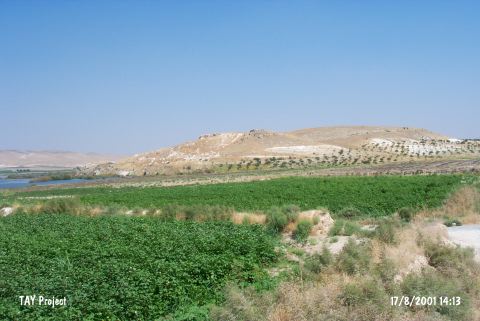
| Geography and Environment: |
| Destruction Details: The rocky mass which the site locates is being used as stone quarry. There is road turning around the skirts of the hill and reaching the quarry [TAYEx 17.8.2001]. |