| ©The Archaeological Settlements of Turkey - TAY Project | ||||||
|
|
||||||
Sürük Mevkii |
||||||
|
|
||||||
| Ages | Maps | Photos | ||||
| Neolithic IA |
 |
 |
||||
|
|
||||||
|
Type:
|
Mound | |||||
|
Altitude:
|
440 m | |||||
|
Diameter:
|
m- Direction: | |||||
|
|
||||||
|
Region:
|
Southeastern Anatolia | |||||
|
Province:
|
Adiyaman | |||||
|
District:
|
Samsat | |||||
|
Village:
|
||||||
|
|
||||||
|
Destruction :
|
Dams | |||||
|
|
||||||
|
TAYEx:
|
Not visited - 26/9/2001 | |||||
|
|
||||||
|
Registration State:
|
For detailed registration information please refer to Turkish pages. | |||||
 |
||||||
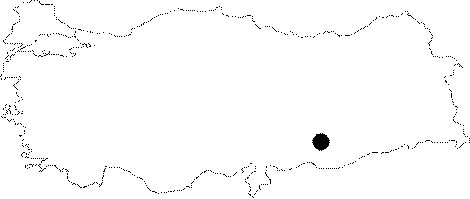
| Location: This site lies south of the city of Adiyaman; northeast of the old town of Samsat. |
| Geography and Environment: The site; known as Sürük Mevkii; is at the border of the Atatürk Dam Lake. The mound is located on the western bank of Alikan Stream; also known as Gevrik Stream; which now empties into the dam lake but used to empty into the Euphrates River. On the western bank of this river is a terrace known as the Gazikumca Kirmalari; which is at an elevation between 450-500 m above sea-level. The site lies east of this terrace. There is a freshwater spring very near the mound. The site size; 130 m north-south and 90 m east-west; has been determined by the artifact extent. The thickness of the cultural material deposit has not been measured. The area around Samsat is rich in flint outcrops. The proximity of the site to the Euphrates River and the fertile lands around the mound may have been among the reasons why early settlers chose this location. |
| Destruction Details: Sürük Mevkii is flooded by Atatürk Dam reservoir today [TAYEx 26.9.2001]. |