| ©The Archaeological Settlements of Turkey - TAY Project | ||||||
|
|
||||||
Sirkeli |
||||||
|
|
||||||
| Ages | Maps | Photos | ||||
| Chalcolithic EBA IA |
 |
 |
||||
|
|
||||||
|
Type:
|
Mound | |||||
|
Altitude:
|
80 m | |||||
|
Diameter:
|
m- Direction: | |||||
|
|
||||||
|
Region:
|
Mediterranean | |||||
|
Province:
|
Adana | |||||
|
District:
|
Ceyhan | |||||
|
Village:
|
Sirkeli | |||||
|
|
||||||
|
|
||||||
|
|
||||||
|
TAYEx:
|
Visited - 1/8/2001 | |||||
|
|
||||||
|
Registration State:
|
Registered For detailed registration information please refer to Turkish pages. | |||||
 |
||||||
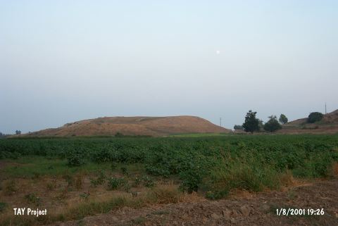
| Location: It is situated on ancient trade routes both in east-west and in south-north directions, in Sirkeli Village of Ceyhan 40 km east of Ceyhan District in Adana [Novak et al. 2009:297]. |
| Geography and Environment: Ceyhan River that runs through Sirkeli Village, ancient Bagdat railway, the modern motorway and Middle Age Yilan Fortress point out at the importance of the location of the mound [Novak et al. 2009:297]. |
| Destruction Details: |