| ©The Archaeological Settlements of Turkey - TAY Project | ||||||
|
|
||||||
Simisi Tepe |
||||||
|
|
||||||
| Ages | Maps | Photos | ||||
| Chalcolithic |
 |
 |
||||
|
|
||||||
|
Type:
|
Mound | |||||
|
Altitude:
|
530 m | |||||
|
Diameter:
|
m- Direction: | |||||
|
|
||||||
|
Region:
|
Southeastern Anatolia | |||||
|
Province:
|
Batman | |||||
|
District:
|
Merkez | |||||
|
Village:
|
Ikiztepe | |||||
|
|
||||||
|
Destruction :
|
Contemporary Settlements | |||||
|
|
||||||
|
TAYEx:
|
Visited - 16/9/2001 | |||||
|
|
||||||
|
Registration State:
|
For detailed registration information please refer to Turkish pages. | |||||
 |
||||||
| Location: |
| Geography and Environment: |
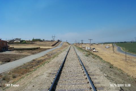
| Destruction Details: The site of Simisi Tepe is destructed by constructing activities. A manure factory has been built on the mound and northwest slope is cut by railway . There is also a high voltage power tower on the mound [TAYEx 16.9.2001]. |