| ©The Archaeological Settlements of Turkey - TAY Project | ||||||
|
|
||||||
Asagikartal Hüyük |
||||||
|
|
||||||
| Ages | Maps | Photos | ||||
| EBA |
 |
 |
||||
|
|
||||||
|
Type:
|
Mound | |||||
|
Altitude:
|
925 m | |||||
|
Diameter:
|
60 m- Direction: N-S | |||||
|
|
||||||
|
Region:
|
Central Anatolia | |||||
|
Province:
|
Eskisehir | |||||
|
District:
|
Merkez | |||||
|
Village:
|
Asagikartal | |||||
|
|
||||||
|
Destruction :
|
Illicit Digging - Agriculture | |||||
|
|
||||||
|
TAYEx:
|
Visited - 29/6/2002 | |||||
|
|
||||||
|
Registration State:
|
For detailed registration information please refer to Turkish pages. | |||||
 |
||||||
| Location: |
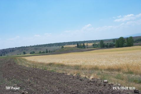
| Geography and Environment: |
| Destruction Details: The fields begin from the skirts of the mound and there are several illicit digging pits on northeast part [TAYEx 29.6.2002]. |