| ©The Archaeological Settlements of Turkey - TAY Project | ||||||
|
|
||||||
Salahan Mevkii |
||||||
|
|
||||||
| Ages | Maps | Photos | ||||
| Palaeolithic/Epipalaeolithic |
 |
 |
||||
|
|
||||||
|
Type:
|
Habitation Site / Workshop | |||||
|
Altitude:
|
m | |||||
|
Diameter:
|
m- Direction: | |||||
|
|
||||||
|
Region:
|
Southeastern Anatolia | |||||
|
Province:
|
Adiyaman | |||||
|
District:
|
Samsat | |||||
|
Village:
|
Biriman | |||||
|
|
||||||
|
Destruction :
|
Dams | |||||
|
|
||||||
|
TAYEx:
|
Not visited - 29/8/2001 | |||||
|
|
||||||
|
Registration State:
|
For detailed registration information please refer to Turkish pages. | |||||
 |
||||||
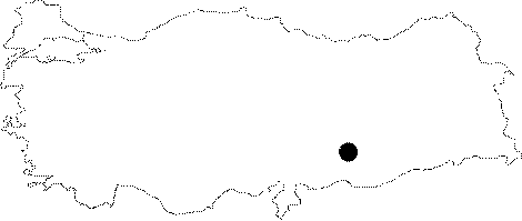
| Location: This site lies on a low ridge southeast of the city of Adiyaman; about 5 km north-northeast of the town of Samsat and 1.200 m southwest of the village of Biriman; on the eastern bank of the Bolunca Stream. Its survey code is T 51 / 20. |
| Geography and Environment: A scatter of chipped stone tools were found on a Medieval site measuring 70x40 m. It is believed that the number of Palaeolithic sites will increase if surveys become more systematic. |
| Destruction Details: The site is flooded by dam reservoir today [TAYEx 29.8.2001]. |