| ©The Archaeological Settlements of Turkey - TAY Project | ||||||
|
|
||||||
Pulur / Sakyol |
||||||
|
|
||||||
| Ages | Maps | Photos | ||||
| Chalcolithic EBA 14C |
 |
 |
||||
|
|
||||||
|
Type:
|
Mound | |||||
|
Altitude:
|
800 m | |||||
|
Diameter:
|
m- Direction: | |||||
|
|
||||||
|
Region:
|
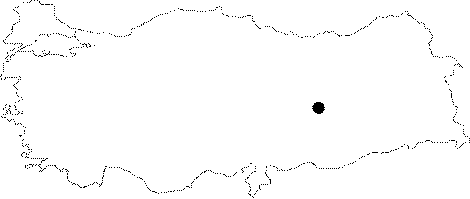
Eastern Anatolia | |||||
|
Province:
|
Tunceli | |||||
|
District:
|
Çemisgezek | |||||
|
Village:
|
Sakyol | |||||
|
|
||||||
|
Destruction :
|
Dams | |||||
|
|
||||||
|
TAYEx:
|
Not visited - 15/7/2003 | |||||
|
|
||||||
|
Registration State:
|
For detailed registration information please refer to Turkish pages. | |||||
 |
||||||
| Location: It was located immediate northeast of the village; 45 km northwest the Elazig Province before it was flooded by the Keban Dam. It was named after the nearest village as Sakyol/Pulur (some publications refer to as Pulur/Sakyol). Pulur was its former name; but its recent name is Sakyol. Unlike the naming of other mounds; both names are used. Pulur is the correct one; but in order to prevent any confusion with other mounds named Pulur; Pulur/Sakyol is preferred. The excavator uses both names alternately. However; K. Kökten who discovered this mound refers to it as Kültepe at Pulur [Kökten 1947:462]. |
| Geography and Environment: The mound was located 4-5 km far from the place where the Murat and Karasu streams join. It measured 20 m in height above the plain together with the natural hill underneath and 80x120 m in dimensions. It was a medium sized mound. It had steep slopes and a flat top hill. The thickness of the cultural deposit was measured around 13-15 m after the excavation. Even before submerged; it had been severely damaged by the modern village obscuring it. |
| Destruction Details: |