| ©The Archaeological Settlements of Turkey - TAY Project | ||||||
|
|
||||||
SAK 18 |
||||||
|
|
||||||
| Ages | Maps | Photos | ||||
| Palaeolithic/Epipalaeolithic |
 |
 |
||||
|
|
||||||
|
Type:
|
Artifact Scatter | |||||
|
Altitude:
|
m | |||||
|
Diameter:
|
m- Direction: | |||||
|
|
||||||
|
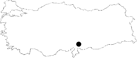
Region:
|
Mediterranean | |||||
|
Province:
|
Gaziantep | |||||
|
District:
|
Islahiye | |||||
|
Village:
|
Sakçagözü | |||||
|
|
||||||
|
|
||||||
|
|
||||||
|
TAYEx:
|
Not visited - 27/8/2001 | |||||
|
|
||||||
|
Registration State:
|
For detailed registration information please refer to Turkish pages. | |||||
 |
||||||
| Location: This site lies northwest of Gaziantep; 6.3 km east-northeast of the village of Sakçagözü and 2.5 km south of the site identified as SAK 14. It is located in a narrow valley; on Mount Arapdede; which leads to the village of Seyhliçerit. The only way to get to this scattered open-air site; which lies immediately north of the Gaziantep-Adana highway is via this highway or on foot from the village. |
| Geography and Environment: The Emirler Valley; often considered to be the continuation of the Islahiye Plain; extends to the swampy area in the north. Although it is mentioned that the artifacts were found on the valley floor; the exact location and the dimensions of the site are not given. The site lies 850 m above sea-level. |
| Destruction Details: |