| ©The Archaeological Settlements of Turkey - TAY Project | ||||||
|
|
||||||
SAK 14 |
||||||
|
|
||||||
| Ages | Maps | Photos | ||||
| Palaeolithic/Epipalaeolithic |
 |
 |
||||
|
|
||||||
|
Type:
|
Artifact Scatter | |||||
|
Altitude:
|
m | |||||
|
Diameter:
|
m- Direction: | |||||
|
|
||||||
|
Region:
|
Mediterranean | |||||
|
Province:
|
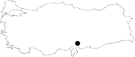
Gaziantep | |||||
|
District:
|
Islahiye | |||||
|
Village:
|
Emirler | |||||
|
|
||||||
|
|
||||||
|
|
||||||
|
TAYEx:
|
Not visited - 26/8/2001 | |||||
|
|
||||||
|
Registration State:
|
For detailed registration information please refer to Turkish pages. | |||||
 |
||||||
| Location: This site is northwest of the city of Gaziantep; northeast of the village of Sakçagözü and west-southwest of the village of Emirler. It lies on the western face of Mount Arapdede. The open-air site should have instead been named Emirler; after the closest village in the vicinity. |
| Geography and Environment: This site which; lies in the passage way between the Islahiye Plain and the Emirler Valley; is named SAK 14 (after the town of Sakçagözü). It is spread over a couple of hectares and is one of the largest sites in the area. |
| Destruction Details: |