| ©The Archaeological Settlements of Turkey - TAY Project | ||||||
|
|
||||||
Pirun / Pirin |
||||||
|
|
||||||
| Ages | Maps | Photos | ||||
| Palaeolithic/Epipalaeolithic Neolithic |
 |
 |
||||
|
|
||||||
|
Type:
|
Artifact Scatter | |||||
|
Altitude:
|
600 m | |||||
|
Diameter:
|
m- Direction: | |||||
|
|
||||||
|
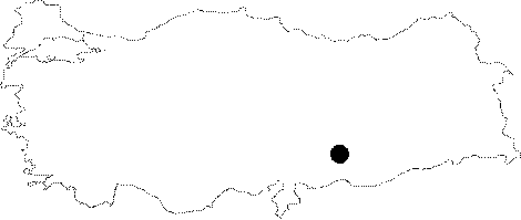
Region:
|
Southeastern Anatolia | |||||
|
Province:
|
Adiyaman | |||||
|
District:
|
Merkez | |||||
|
Village:
|
Pirun | |||||
|
|
||||||
|
|
||||||
|
|
||||||
|
TAYEx:
|
Not found - 26/9/2001 | |||||
|
|
||||||
|
Registration State:
|
Registered For detailed registration information please refer to Turkish pages. | |||||
 |
||||||
| Location: This site lies 4-4.5 m northeast of the city of Adiyaman. It is possible to reach the site via the road that goes north to Pirun from the Adiyaman city center. This road goes by the man made cave-graves. |
| Geography and Environment: The Pirun Region provides a good environment for hunter gatherer peoples. The northern part of the area is blocked by mountains while the southern and eastern parts of the area are open. In addition to many cave-graves and rock-shelters; there are a few natural caves in the southwestern part of the Karadag rock outcrop. The area is also rich in water sources (For more detailed information on the geography of the region; see Harmankaya-Tanindi 1996:Pirun/Pirin). |
| Destruction Details: |