| ©The Archaeological Settlements of Turkey - TAY Project | ||||||
|
|
||||||
Pazaryeri 2 |
||||||
|
|
||||||
| Ages | Maps | Photos | ||||
| Chalcolithic EBA |
 |
 |
||||
|
|
||||||
|
Type:
|
Mound | |||||
|
Altitude:
|
700 m | |||||
|
Diameter:
|
m- Direction: | |||||
|
|
||||||
|
Region:
|
Marmara | |||||
|
Province:
|
Bilecik | |||||
|
District:
|
Pazaryeri | |||||
|
Village:
|
Merkez | |||||
|
|
||||||
|
Destruction :
|
Illicit Digging - Agriculture - Attention | |||||
|
|
||||||
|
TAYEx:
|
Visited - 17/7/2008 | |||||
|
|
||||||
|
Registration State:
|
For detailed registration information please refer to Turkish pages. | |||||
 |
||||||
| Location: |
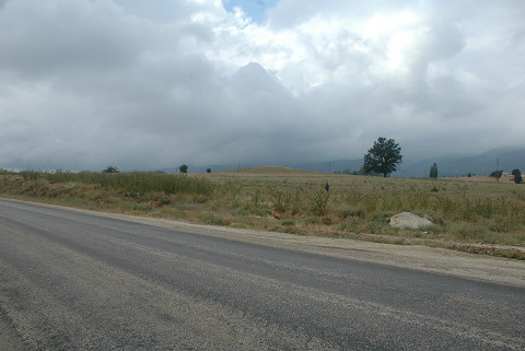
| Geography and Environment: |
| Destruction Details: It was visited by TAYEx Bizans Marmara in July 2008. It is observed that an illicit digging took place at the peak of the mound. There are plantation fields in the south and east of the mound. The eastern section was cut through due to plantation fields [TAYEx 17.7.2008]. |