| ©The Archaeological Settlements of Turkey - TAY Project | ||||||
|
|
||||||
Asagi Nizip Yöresi |
||||||
|
|
||||||
| Ages | Maps | Photos | ||||
| Palaeolithic/Epipalaeolithic |
 |
 |
||||
|
|
||||||
|
Type:
|
Single Findspot | |||||
|
Altitude:
|
m | |||||
|
Diameter:
|
m- Direction: | |||||
|
|
||||||
|
Region:
|
Southeastern Anatolia | |||||
|
Province:
|
Gaziantep | |||||
|
District:
|
Nizip | |||||
|
Village:
|
||||||
|
|
||||||
|
|
||||||
|
|
||||||
|
TAYEx:
|
Not visited - 18/8/2001 | |||||
|
|
||||||
|
Registration State:
|
For detailed registration information please refer to Turkish pages. | |||||
 |
||||||
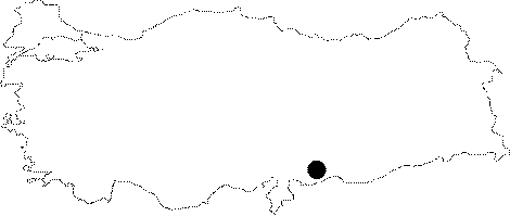
| Location: This site is located in the town of Nizip; a district of the province of Gaziantep; 37 km (as the crow flies) east of the main city. It lies on the lower terraces and flat plains along the Nizip Stream which flows by the villages of Tilmagara; Hancagiz; Mihrap; Gevence and Mercanli before it empties into the Euphrates. (Instead of including each village as a separate site; we have chosen; like the surveyor; Minzoni-Deroche; to collectively present the information under the heading Asagi Nizip Yöresi; or Lower Euphrates Region). |
| Geography and Environment: The Nizip Stream springs from Mount Kartal; which lies by the lower flanks of the 1;496 m high Büyüksaf. It then flows southeast through the town of Nizip; south of town of Birecik and joins the Euphrates at Kirgiz after a 110 km long journey. The small rivers and streamlets have given the region an undulating appearance. |
| Destruction Details: |