| ©The Archaeological Settlements of Turkey - TAY Project | ||||||
|
|
||||||
Palanli Pirun Siginagi |
||||||
|
|
||||||
| Ages | Maps | Photos | ||||
| Palaeolithic/Epipalaeolithic |
 |
 |
||||
|
|
||||||
|
Type:
|
Rock Shelter | |||||
|
Altitude:
|
m | |||||
|
Diameter:
|
m- Direction: | |||||
|
|
||||||
|
Region:
|
Southeastern Anatolia | |||||
|
Province:
|
Adiyaman | |||||
|
District:
|
Merkez | |||||
|
Village:
|
Palanli | |||||
|
|
||||||
|
|
||||||
|
|
||||||
|
TAYEx:
|
Visited - 26/9/2001 | |||||
|
|
||||||
|
Registration State:
|
For detailed registration information please refer to Turkish pages. | |||||
 |
||||||
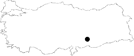
| Location: This rock-shelter site is reported to be between the village of Pirun and the village of Palanli; which is approximately 8-9 km north-northeast of the city of Adiyaman; close to the Palanli Valley through which the Degirmentepe Stream flows. Although it is noted that the site is along the Adiyaman-Malatya highway; an exact location or landmark is not provided. We have included this site separately rather than together with the "Palanli Keçiler Cave" site; researched by Bostanci and Anati; because the descriptions indicate that this is a different cave/rock-shelter (see Keçiler Magarasi). It is a great loss to Turkish archaeology that this site cannot be located because it houses the earliest cave paintings found in Turkey. |
| Geography and Environment: The area is mountainous and rich in water sources. Although it has been reported that the cave/rock-shelter has three chambers; two with engravings; the publications do not provide exact dimensions or other characteristics. |
| Destruction Details: |