| ©The Archaeological Settlements of Turkey - TAY Project | ||||||
|
|
||||||
Örentepe |
||||||
|
|
||||||
| Ages | Maps | Photos | ||||
| EBA |
 |
 |
||||
|
|
||||||
|
Type:
|
Mound | |||||
|
Altitude:
|
1280 m | |||||
|
Diameter:
|
m- Direction: | |||||
|
|
||||||
|
Region:
|
Aegean | |||||
|
Province:
|
Kütahya | |||||
|
District:
|
Emet | |||||
|
Village:
|
Konus | |||||
|
|
||||||
|
Destruction :
|
Illicit Digging | |||||
|
|
||||||
|
TAYEx:
|
Visited - 9/10/2000 | |||||
|
|
||||||
|
Registration State:
|
For detailed registration information please refer to Turkish pages. | |||||
 |
||||||
| Location: |
| Geography and Environment: |
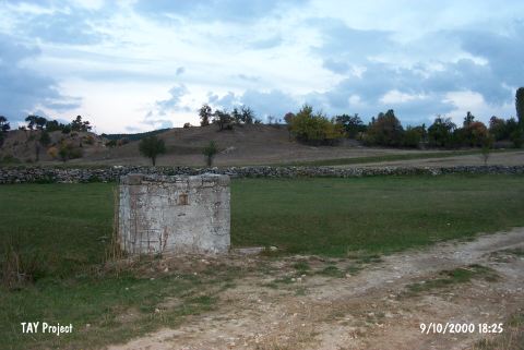
| Destruction Details: On the mound is an illicit digging pit measuring 2x5 m in dimensions and 2.5 m in depth. Its slopes have also been damaged due to terracing [TAYEx 9.10.2000]. |