| ©The Archaeological Settlements of Turkey - TAY Project | ||||||
|
|
||||||
Ören Tepe |
||||||
|
|
||||||
| Ages | Maps | Photos | ||||
| EBA IA |
 |
 |
||||
|
|
||||||
|
Type:
|
Flat Settlement | |||||
|
Altitude:
|
685 m | |||||
|
Diameter:
|
198 m- Direction: SSE-NNW | |||||
|
|
||||||
|
Region:
|
Black Sea | |||||
|
Province:
|
Samsun | |||||
|
District:
|
Havza | |||||
|
Village:
|
Ilica | |||||
|
|
||||||
|
Destruction :
|
Dams - Agriculture - Attention | |||||
|
|
||||||
|
TAYEx:
|
Visited - 30/8/2003 | |||||
|
|
||||||
|
Registration State:
|
For detailed registration information please refer to Turkish pages. | |||||
 |
||||||
| Location: |
| Geography and Environment: |
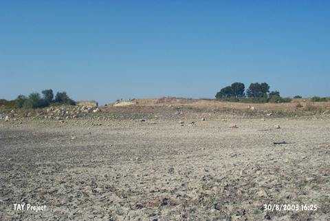
| Destruction Details: The site has been damaged due to intense agricultural activities. Its north-northeastern slope and skirt are being cultivated. Large amounts of soil was removed from the mound for the construction of the dam [TAYEx 30.8.2003]. |