| ©The Archaeological Settlements of Turkey - TAY Project | ||||||
|
|
||||||
Aslantepe |
||||||
|
|
||||||
| Ages | Maps | Photos | ||||
| Palaeolithic/Epipalaeolithic |
 |
 |
||||
|
|
||||||
|
Type:
|
Single Findspot | |||||
|
Altitude:
|
m | |||||
|
Diameter:
|
m- Direction: | |||||
|
|
||||||
|
Region:
|
Marmara | |||||
|
Province:
|
Balikesir | |||||
|
District:
|
Ivrindi | |||||
|
Village:
|
Yaglilar | |||||
|
|
||||||
|
|
||||||
|
|
||||||
|
TAYEx:
|
Not found - 25/6/2000 | |||||
|
|
||||||
|
Registration State:
|
For detailed registration information please refer to Turkish pages. | |||||
 |
||||||
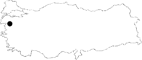
| Location: This open-air site is 38 km (as the crow flies) southwest of the city of Balikesir; near the village of Yaglilar; 4 km south-southwest of the town of Irvindi. |
| Geography and Environment: Although the site is called Aslantepe; this term appears neither on 1:100;000 maps of this area nor of the neighboring district of Demirtas; 3 km northwest of Ivrindi. Kökten does not clarify whether this is a local name. |
| Destruction Details: |