| ©The Archaeological Settlements of Turkey - TAY Project | ||||||
|
|
||||||
Musuri / Sadakli |
||||||
|
|
||||||
| Ages | Maps | Photos | ||||
| EBA |
 |
 |
||||
|
|
||||||
|
Type:
|
Mound | |||||
|
Altitude:
|
1710 m | |||||
|
Diameter:
|
125 m- Direction: E-W | |||||
|
|
||||||
|
Region:
|
Eastern Anatolia | |||||
|
Province:
|
Agri | |||||
|
District:
|
Eleskirt | |||||
|
Village:
|
Sadakli | |||||
|
|
||||||
|
Destruction :
|
Illicit Digging - Agriculture - Contemporary Settlements - Attention | |||||
|
|
||||||
|
TAYEx:
|
Visited - 2/7/2003 | |||||
|
|
||||||
|
Registration State:
|
For detailed registration information please refer to Turkish pages. | |||||
 |
||||||
| Location: |
| Geography and Environment: |
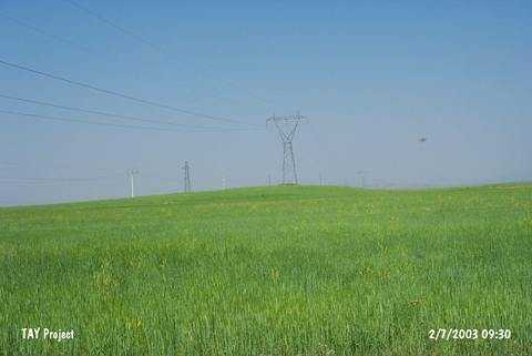
| Destruction Details: The mound is located in an agricultural land and its surface is planted. A high voltage post was located on the top of it. Several illicit digging pits were also observed [TAYEx 2.7.2003]. |