| ©The Archaeological Settlements of Turkey - TAY Project | ||||||
|
|
||||||
Arvalya / Gülhanim Höyük |
||||||
|
|
||||||
| Ages | Maps | Photos | ||||
| EBA |
 |
 |
||||
|
|
||||||
|
Type:
|
Mound | |||||
|
Altitude:
|
30 m | |||||
|
Diameter:
|
m- Direction: | |||||
|
|
||||||
|
Region:
|
Aegean | |||||
|
Province:
|
Izmir | |||||
|
District:
|
Selçuk | |||||
|
Village:
|
Merkez | |||||
|
|
||||||
|
Destruction :
|
Other | |||||
|
|
||||||
|
TAYEx:
|
Visited - 20/9/2000 | |||||
|
|
||||||
|
Registration State:
|
Registered For detailed registration information please refer to Turkish pages. | |||||
 |
||||||
| Location: |
| Geography and Environment: |
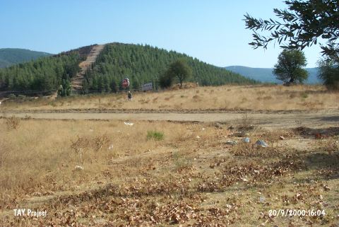
| Destruction Details: Small piles formed due to earth removal were observed on the surface of the mound. Advertisement panels were placed on it [TAYEx 20.9.2000]. The mound which was registered by the Izmir Cultural and Natural Heritage Conservation Board as "immovable cultural asset" is currently being used as horse raising ranch. It was heavily destroyed particularly due to the leveling on the surface where it was supposed to be used as the actual ranch area. That part was also surrounded by a fence. The fence stands were installed using concrete. The east of the mound was occupied for aforestation where it could actually be the cemetery of the archaeological site. There is also a cottage built on the west side of the mound which is used as animal shelter [E. Laflı ile özel görüşme, 30.11.2009]. |