| ©The Archaeological Settlements of Turkey - TAY Project | ||||||
|
|
||||||
Mercin / Boz Höyük |
||||||
|
|
||||||
| Ages | Maps | Photos | ||||
| Chalcolithic EBA IA |
 |
 |
||||
|
|
||||||
|
Type:
|
Mound | |||||
|
Altitude:
|
90 m | |||||
|
Diameter:
|
m- Direction: | |||||
|
|
||||||
|
Region:
|
Mediterranean | |||||
|
Province:
|
Adana | |||||
|
District:
|
Ceyhan | |||||
|
Village:
|
Incetarla | |||||
|
|
||||||
|
Destruction :
|
Agriculture - Contemporary Settlements | |||||
|
|
||||||
|
TAYEx:
|
Visited - 1/8/2001 | |||||
|
|
||||||
|
Registration State:
|
Registered For detailed registration information please refer to Turkish pages. | |||||
 |
||||||
| Location: |
| Geography and Environment: |
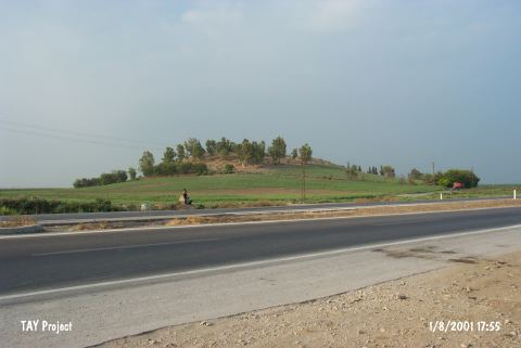
| Destruction Details: The mound has been damaged due to agricultural activities and the contemporary settlement. The northern skirt is cut by the road reaching the farm on northwest skirt of the mound. The eastern skirt is partly cut by the asphalt and leveled because of plowing. There are trees on western and southern slopes of the mound [TAYEx 1.8.2001]. |