| ©The Archaeological Settlements of Turkey - TAY Project | ||||||
|
|
||||||
Medet |
||||||
|
|
||||||
| Ages | Maps | Photos | ||||
| Chalcolithic EBA |
 |
 |
||||
|
|
||||||
|
Type:
|
Mound | |||||
|
Altitude:
|
890 m | |||||
|
Diameter:
|
m- Direction: | |||||
|
|
||||||
|
Region:
|
Aegean | |||||
|
Province:
|
Denizli | |||||
|
District:
|
Tavas | |||||
|
Village:
|
Medet | |||||
|
|
||||||
|
Destruction :
|
Contemporary Settlements - Attention | |||||
|
|
||||||
|
TAYEx:
|
Visited - 27/9/2000 | |||||
|
|
||||||
|
Registration State:
|
For detailed registration information please refer to Turkish pages. | |||||
 |
||||||
| Location: |
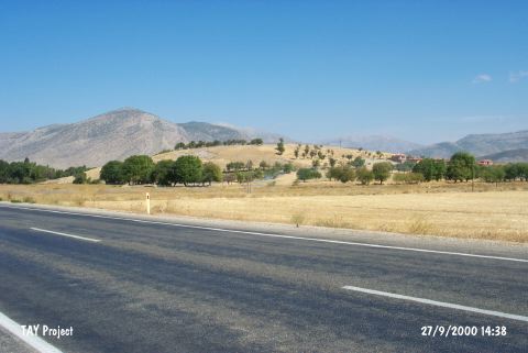
| Geography and Environment: |
| Destruction Details: A part of the village of Medet is built over the southern section of the mound. The mound's soil was used for the construction of the village houses. On its eastern skirt is the cemetery of the village [TAYEx 27.9.2000]. |