| ©The Archaeological Settlements of Turkey - TAY Project | ||||||
|
|
||||||
May |
||||||
|
|
||||||
| Ages | Maps | Photos | ||||
| EBA IA |
 |
 |
||||
|
|
||||||
|
Type:
|
Mound | |||||
|
Altitude:
|
1110 m | |||||
|
Diameter:
|
210 m- Direction: NNW-SSE | |||||
|
|
||||||
|
Region:
|
Central Anatolia | |||||
|
Province:
|
Konya | |||||
|
District:
|
Akören | |||||
|
Village:
|
Kayasu | |||||
|
|
||||||
|
Destruction :
|
Illicit Digging - Agriculture - Highways, roads, bridges etc. | |||||
|
|
||||||
|
TAYEx:
|
Visited - 30/8/2002 | |||||
|
|
||||||
|
Registration State:
|
Registered For detailed registration information please refer to Turkish pages. | |||||
 |
||||||
| Location: |
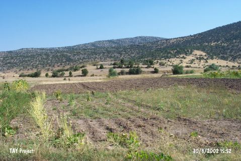
| Geography and Environment: |
| Destruction Details: The mound has been damaged due to agricultural activities and illicit diggings. There is also a dirt road on southwestern slope. Northern part of the mound is completely planted and a pit seen on south-southeast section [TAYEx 30.8.2002]. |