| ©The Archaeological Settlements of Turkey - TAY Project | ||||||
|
|
||||||
Mahmut Sekisi |
||||||
|
|
||||||
| Ages | Maps | Photos | ||||
| Neolithic |
 |
 |
||||
|
|
||||||
|
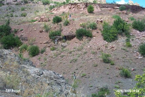
Type:
|
Artifact Scatter | |||||
|
Altitude:
|
1060 m | |||||
|
Diameter:
|
m- Direction: | |||||
|
|
||||||
|
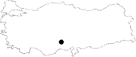
Region:
|
Central Anatolia | |||||
|
Province:
|
Nigde | |||||
|
District:
|
Ulukisla | |||||
|
Village:
|
Çiftehan | |||||
|
|
||||||
|
|
||||||
|
|
||||||
|
TAYEx:
|
Visited - 10/8/2002 | |||||
|
|
||||||
|
Registration State:
|
For detailed registration information please refer to Turkish pages. | |||||
 |
||||||
| Location: This site lies south of the city of Nigde; east of the town of Kusakli; and a couple of kilometers west of Çiftehan. |
| Geography and Environment: The site is located in the Maden Stream Valley; west of the confluence of this stream and Çatiksuyu Stream and east of Mount Aktas Tepe [Yener 1986:map of fig.1]. No information has been provided on the size; extent and the geographic setting of the site. |
| Destruction Details: |